Drone Technology for Redevelopement of Gangotri and Yamnotri Shrines
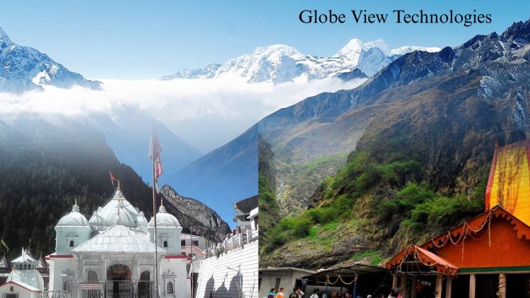
We recently conducted a high-resolution UAV/Drone-based topographical survey in the Gangotri and Yamunotri shrine areas, supporting upcoming tourism infrastructure development projects in these high-altitude Himalayan regions.
1. Objective
To generate accurate topographical maps, 3D terrain models, and orthomosaic imagery for planning eco-sensitive and resilient tourism infrastructure.
2. Scope of Work
-
UAV aerial survey of shrine zones and buffer areas
-
DGPS-based Ground Control Point (GCP) establishment
-
Photogrammetry data processing
-
Delivery of GIS-compatible topographic outputs
3. Survey Coverage
-
Areas surveyed: Shrine zones, trails, proposed development sites
-
Terrain: Steep, high-altitude regions
4. Methodology
a) DGPS Survey
Established accurate GCPs for geo-referencing UAV data with sub-meter precision.
b) Aerial Image Acquisition
Captured high-res images using drones with >20MP cameras, ensuring full coverage with optimal overlap.
c) Photogrammetry Processing
Processed using tools like Pix4D/Agisoft for:
-
Orthomosaic imagery
-
DSM/DTM
-
Contour maps
-
3D terrain models
5. Deliverables
-
Georeferenced orthophotos
-
DEM/DSM & 3D models
-
Contour maps
-
AutoCAD & GIS-ready files
-
DGPS report & raw UAV data
This survey enables data-driven planning for sustainable tourism while preserving the ecological and cultural integrity of the Char Dham region.
What's Your Reaction?