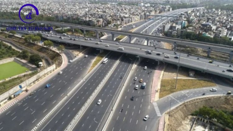
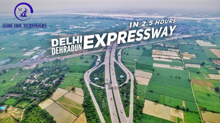
Delhi-Dehradun Expressway
To construct a high-speed, access-controlled expressway connecting Delhi to Dehradun, aimed at reducing travel time from 6 hours to around 2.5 hours, improving regional connectivity, and boosting economic and tourism development.
Delhi–Dehradun Expressway
1. Objective
To provide accurate geospatial data for planning and construction of the Delhi–Dehradun Expressway through DGPS survey, aerial imagery, and photogrammetric processing.
2. Scope of Work
- DGPS ground control survey
- Aerial image acquisition
- Photogrammetric processing for DTM, DSM & orthomosaic generation
- Data processing and deliverable submission
3. Project Scope
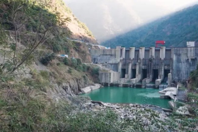
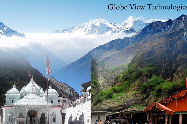
Survey covered ~210 km of the expressway across Delhi, UP, and Uttarakhand, including urban areas, forest zones, and hilly terrain.
4. Approach
a) DGPS Survey
Established high-accuracy Ground Control Points (GCPs) for geo-referencing.
b) Aerial Image Acquisition
Captured high-resolution images using UAVs/aircraft with optimal overlap for 3D mapping.
c) Photogrammetry Processing
Generated orthomosaics, DSM, DTM, and point clouds using photogrammetry software integrated with GCPs.
5. Deliverables
- Georeferenced orthomosaic imagery
- DTM/DSM
- DGPS GCP reports
- Point cloud data
- Project summary report
- CAD & GIS layers
What's Your Reaction?